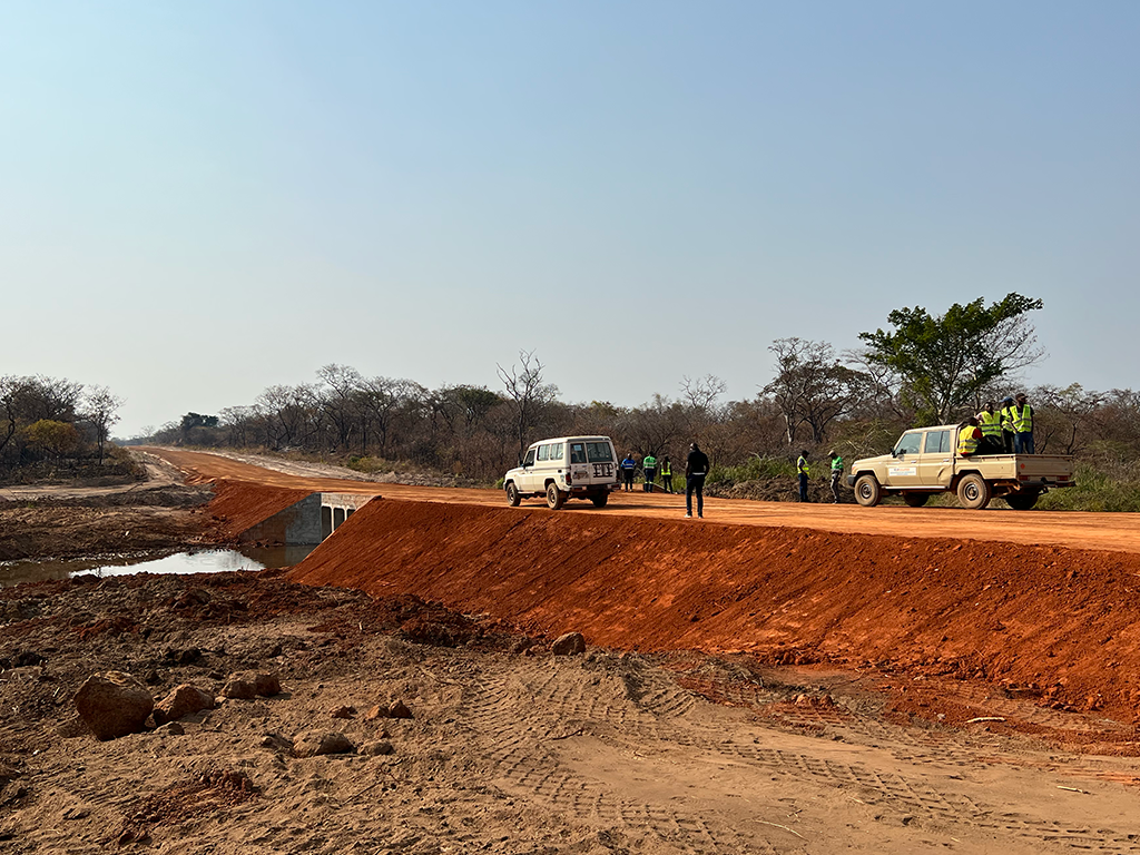
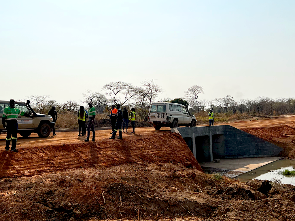
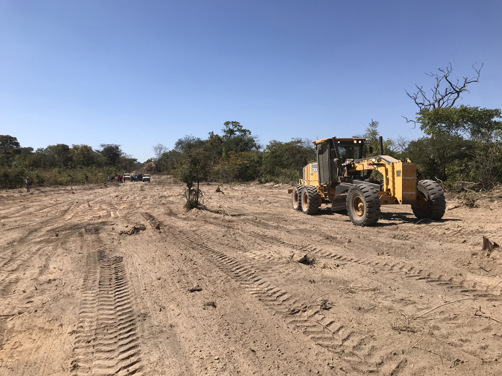
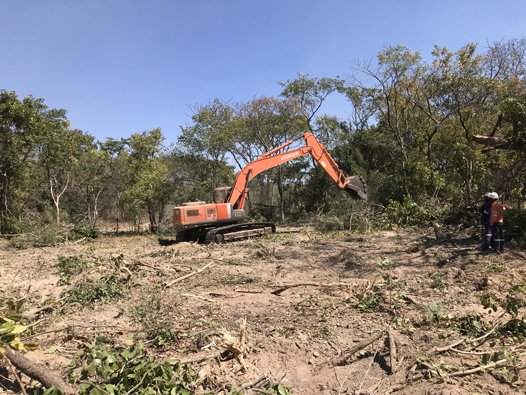
The 6-metre-high Luongo Bridge embankment was completed in June 2025, which will serve as the approach to a new, wider bridge, replacing the existing single-lane crossing and allowing for a smoother flow of traffic.
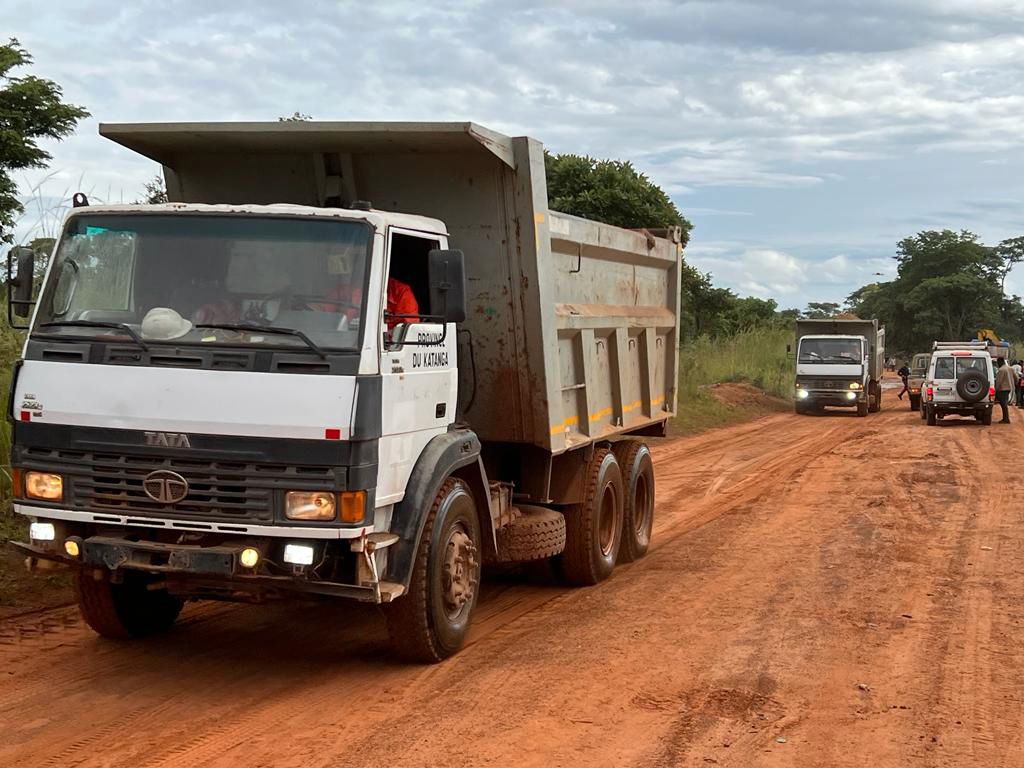
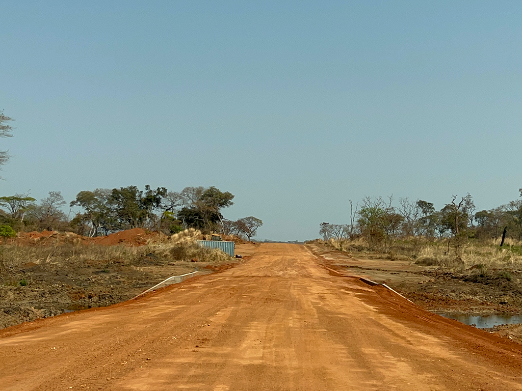
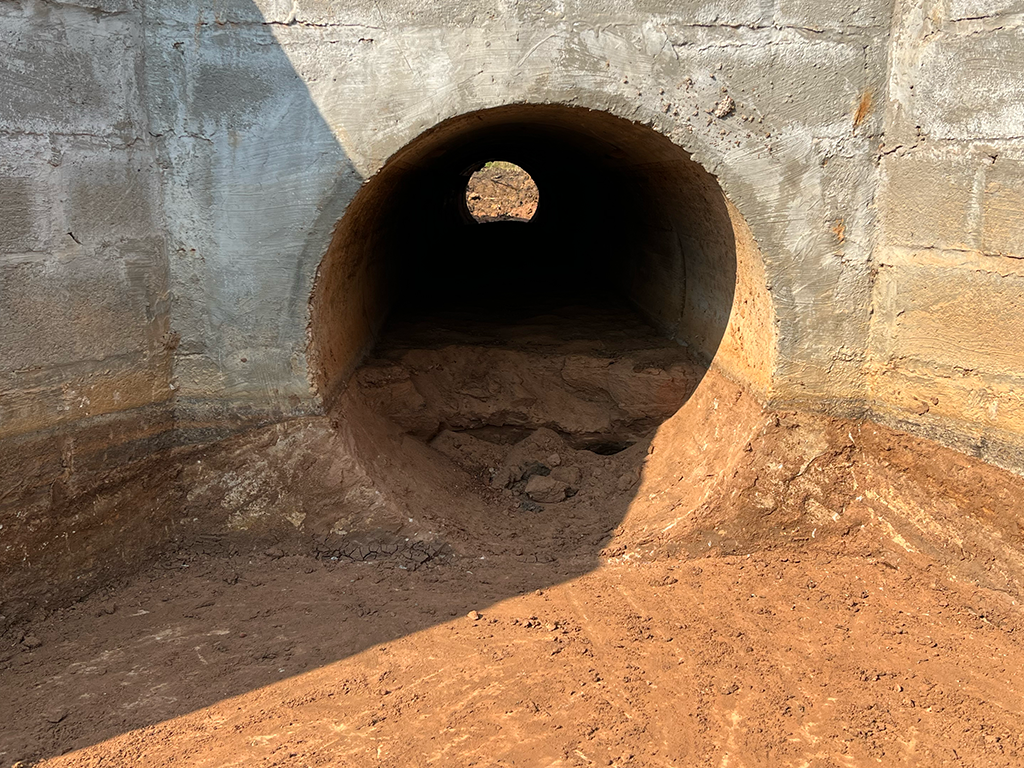
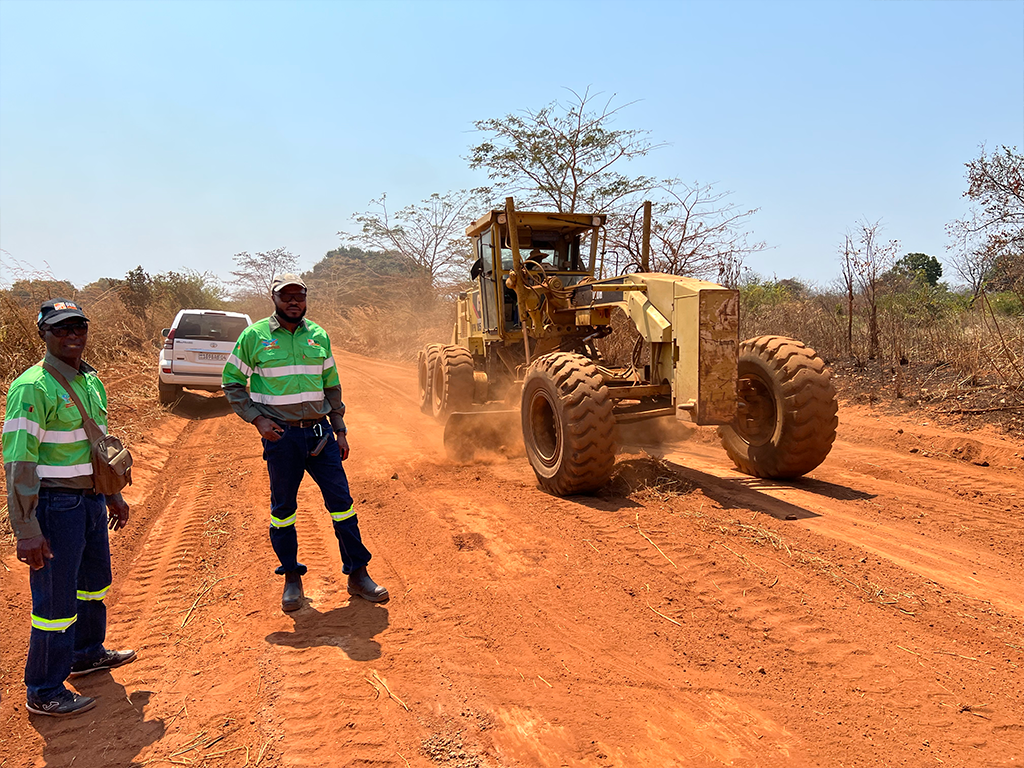
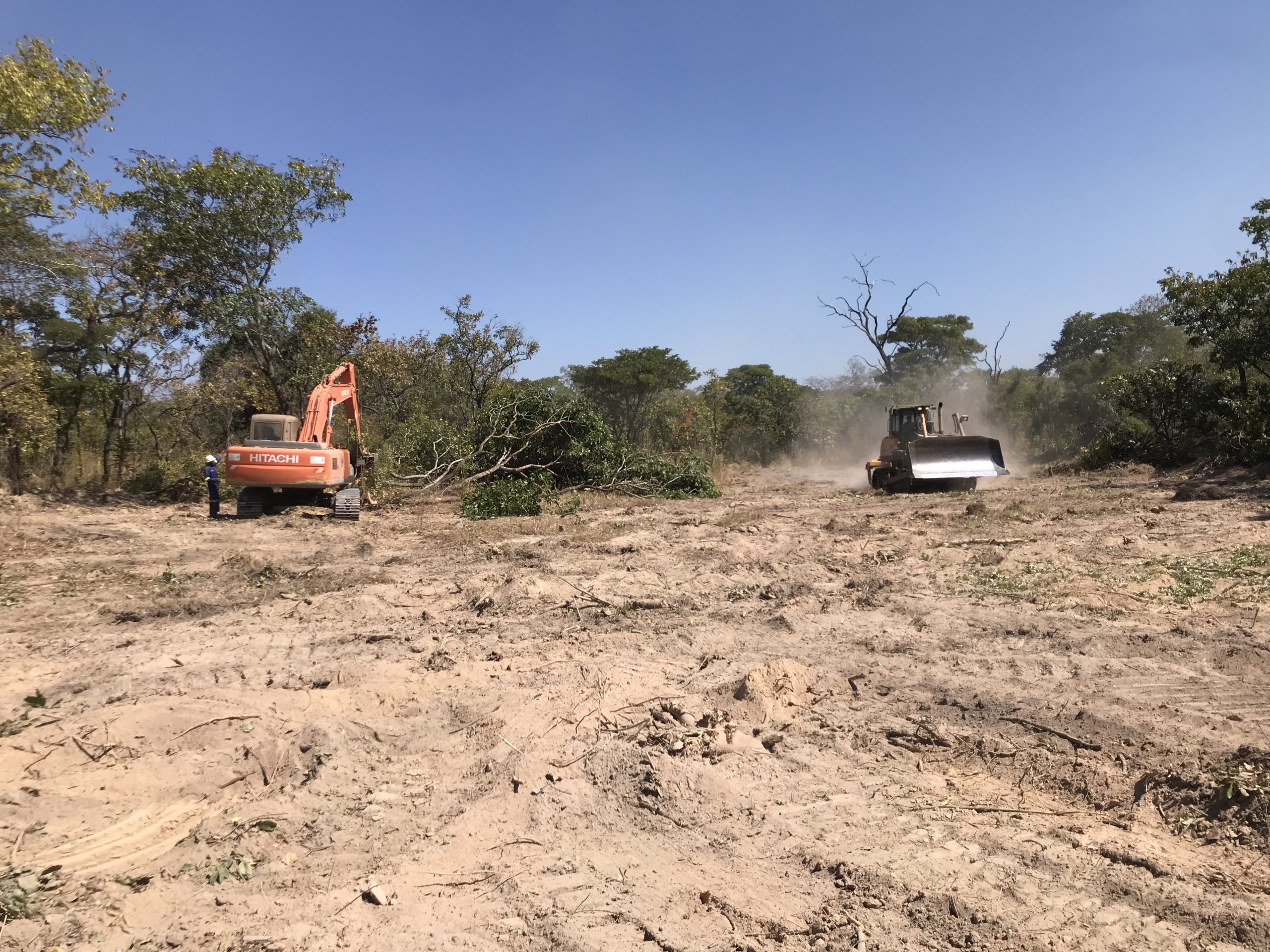
In addition, two major box culverts have been successfully completed and road construction is advancing between Kashiba Junction and the Luongo River. Current efforts are focused on the installation of additional drainage infrastructure – critical to ensuring the long-term durability and resilience of the route.
RECENT HIGHLIGHTS
FULL
GALLERY
BUILDING INFORMATION MODELING (BIM)
Building Information Modelling (BIM) is a digital process that creates a detailed 3D model of a project, integrating design, construction, and operational data into one central platform. It was introduced in the early phases of the Kasomeno-Mwenda Toll Road (KMTR) Project and continues to play a key role in driving progress and ensuring project success.
As the first project of its scale in Africa to adopt BIM technology, GED Africa is setting a new standard for digital collaboration in infrastructure development. BIM enhances coordination, accuracy, and efficiency across all aspects of construction—supporting better planning, reducing on-site errors, and ensuring alignment across teams.
A key feature of the project is the close collaboration between our on-site team and the Hungary-based BIM team from Duna Aszfalt, our project sponsor. Drone-captured data and imagery are processed and reviewed jointly to track progress, ensure quality, and maintain a single, reliable source of project information.
BIM also supports day-to-day activities—verifying designs, checking levels, and producing “as-built” documentation. It contributes to survey reviews and assists in land-related processes such as verifying cadastral maps for compensation and resettlement.
This integrated, cross-continental approach is helping deliver the KMTR Project with precision, transparency, and innovation—paving the way for smarter infrastructure development across Africa.